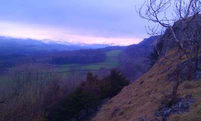
I enjoyed a cup of coffee at the Queen's Head, Troutbeck, and considered walking north up the Troutbeck valley, but the ridge at the top, 784 metres was definitely in the low clouds. I was hoping that Wansfell Pike, 482 metres, might not be, but I was disappointed in that respect.
The path starts at Lanefoot farm on the B road that runs through the village from Town Head to Town End, and rises steeply at first, and flatten out as it joins a track called Nanny Lane. This track runs North to a further peak slightly higher than Wansfell Pike, and there was a well signed turning to the left. The sign also requested walkers to keep to the path; good advice, as we were up in the clouds now, and the ground apart from the path was both boggy and snowy.
There were a few other walkers about, appearing through the mist. The gloves and hat, which had been consigned to the backpack during the sheltered early part of the climb were called back into service. At the very top the wind was biting cold on the bare skin, and I would have worn a balaclava if I had one. There is a wall running North to South at the top, and it was more sheltered to the west of the wall, although the view was no better.
The path down to Ambleside was generally steeper, and very much so near the top. It was also much more busy, so there was quite a lot of waiting to pass as it was often only wide enough for one person. Gradually the valley below became visible through the cloud, and eventually the path widened as it came down alongside a stream to reach a track, which led down into Ambleside.
During the descent there seemed to be a rather grand building, with orange windows, but when we passed it it turned out the orange was the boards over the windows of a university building no longer in use.
The road into Ambleside was now very busy, with pedestrians not traffic, because it is the route not only to Wansfell Pike, but also to the waterfalls of Stockghyll Force, a sight I left to another day.
While eating my lunch in Ambleside, I planned my route back, through Skelghyll Wood and Robin Lane back to Troutbeck. A side road runs parallel to the A591, and just before this rejoins the main road, a path is sign posted to Skelghyll, Troutbeck and Jenkins Crag.
This is a pleasant walk, initially through woodland, and sheltered from the wind and with no threat of rain, the cagoule was packed away for the rest of the journey.
 |
| one boat under sail |
Further round, there were more impressive views looking South down Windermere seeing the Islands near Bowness in the distance. I am looking forward to doing the walk on a brighter day.
All my way up this path, I passed people coming the other way that I had passed as they made their way up from Ambleside as I was making my way down, and some of them recognised me.It seems that a lot of people like to climb Wansfell Pike using the steep path, and then enjoy a more leisurely path down. Either they had been to Troutbeck, doing my route but in reverse, or they had turned South along the permissive path before they reached Nanny Lane.
There was one confusing point on the way back. The path joins a lane and following this will take you back along Skelghyll Lane through to Town End. I wanted the higher path that leads to Robin Lane, which meant turning off the lane. I avoided this at first thinking it was the path back up to Wansfell, but this was further on along the track called Hundreds Road.
Once on Robin Lane, there were benches at points along the way to enjoy the views, and it was a gentle walk down. The entrance to Robin Lane is signposted in Troutbeck, it is just past the post office.
So altogether a good walk, some steep paths, up and down, exposed hillsides, snow wind mist and cloud, as well as gentle paths and sheltered woodland.


