Showing posts with label Walking. Show all posts

Sunday, March 15, 2015

Ingleborough

Yesterday I did my first trip up Ingleborough. Having visited High Bentham a few times, seeing the peak so close and enticing made it a very alluring goal.  I parked in the car park by the library in Ingleton, and bought a map and a scarf and some lunch, and made my way up on the bridleway that starts just outside the village on the road to Hawes.

On the way up, turning back to admire the view

A little higher, a little bit more to see

One o'clock, and a sheltered spot with a great view to eat my Fellsman Pie

The view North, to Whernside, one of the three peaks

The Snow was not new, and was quite grubby in places

The View to the Northeast, to Simon Fell

A view to the East, towards Pen-y-Ghent, one of the three peaks


A view to the South, of Little Ingleborough

Is it better to take a Selfie with a hat.....

... or without a hat?

A View of the peak on the journey down


A nice chocolate and banana muffin, eaten on the way down at the same spot as lunch on the way up.

Half Past two and the Sun starts to break through

A last admiring view of the peak on the way down

A zig zag River valley

Sunday, February 03, 2013

Whitbarrow

Last Saturday, January 26,  I went walking at Whitbarrow, an enjoyable walk in the snow on a bright and beautiful day.
We had snow lying on the ground in Liverpool all week, with fresh falls overnight, so it was no surprise that only two lanes of the motorway were usable going past Wigan, but when we got past Lancaster it felt bizarre as there was no snow on the ground at all.
It was a bright morning, and I parked just off the A590 by the village of Millside. I parked behind another car, and two more cars parked behind me before I had put my boots and gear on. There were clumps of melting snow falling from the roadside trees as I walked through the village.
I tracked part of my route up on Strava. There were some good views looking out across the lower reaches of the Lyth Valley.

The path brought me to the foot of white scar, and then I took a path that climbed up just before that point.

The snow was quite slippery at points, but there were some attractive trees on the way, and eventually I came out to the sunshine shining on the bright snow.
I was glad that someone else had done the walk since the last snowfall. Finding the path would have been very haphazard otherwise.
There were some great views looking over toward Grange over sands and Arnside, a bit difficult to catch on the camera.

After a while of trudging through the three inch high snow, it occurred to me that it might be quite good for making a snowman. My Snowman had height, taller than me, but not much girth, and was a rather more of a stack or chimney really.
After retrieving my hat, I ventured on, and met the first two of the nine people in total that I met during the walk a little too late to make it worth turning back and asking them to take a picture of me with the snowman.

It was glorious day, walking along in the snow, with beautiful views all around. To the left was Witherslack Hall, now a school, overlooked by Chapel Head Scar.

There is a path shown running back down the valley, whether I got the correct turn or not I cannot be sure, but I followed some tracks in the snow that turned down at a pepper pot type monument.
It felt like Winnie the Pooh, and Where the Weazle wasn't following the tracks in the snow, then the patch became better defined and there were some slippery moments on the snow.


I met a couple who I chatted with a while, and they took a picture of me. He remarked how quiet it was, which came as a bit of a surprise to me. I had made my ascent to the sound of cars travelling on the A590, but here in the valley it was very quiet.
At the bottom I took the path towards the school, and turned back when I realised I needed the path nearer the cliff. I was glad to have walked a little at the bottom of the valley. It must have been cooler here, or sheltered from the sun, and the snow was still crisp.
The path I wanted took me through High Crag Wood, underneath Chapel Head Scar. Walking there must be quite different in summer, when the cliff would be shielded by the the trees.
As it was it was almost eerie, quite quiet, but with the sounds of birds from different parts of the woods.
At one point I passed a dead silver birch tree, with saucer like fungus growing from the trunk, the brown top and white underside looking all the more strange with a helping of snow on top.
Eventually the path reached a lane, where I had a nice interlude.  Having met just nine people while on the walk there were more than that number sat in the Hikers' Rest. Some local people had set up an outhouse with facilities to make tea & coffee, with an honesty envelope to put through the door of the next cottage. I had no change, but the folk already there invited me to join them, and after some polite banter it turned out that some of them had been in Morocco with a family from our church.
The road back through the village went past a pond, where the water was very still and there were great reflections in the water.

When I got back to the car, I was able to take off my boots, which being suede had become a little soggy in the slushy slow. Before I had finished my lunch, it had started to rain, and I realised that I had enjoyed the best of the weather.

Tuesday, May 22, 2012

Haweswater

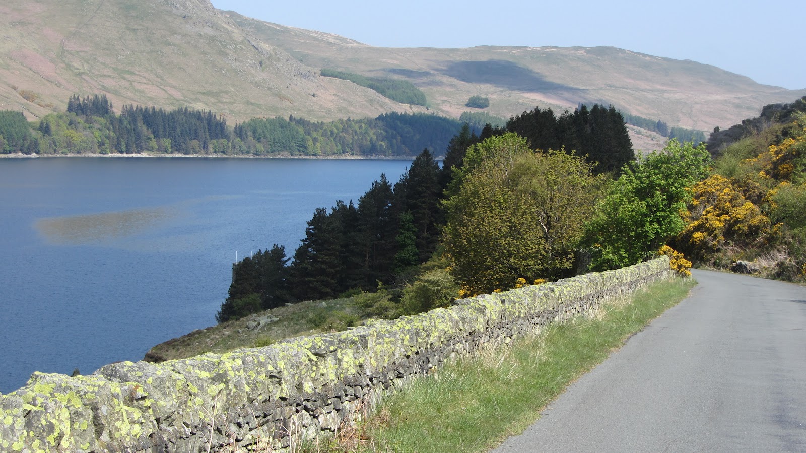
looking across the lake

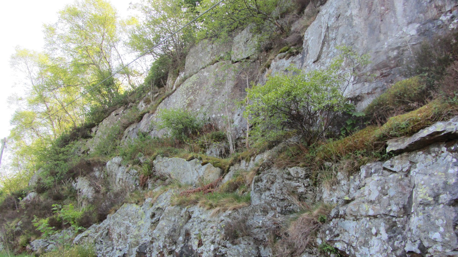
steep cliffs by the roadside

Gorse growing by the roadside

The path leading up the hillside looked very inviting.....

.... and gave me some views from a higher perspective

A lonely tree that used to grow atop a cliff

Strata showing in the rocks

A lonely tree growing on the moorland

A wide expanse of moorland

Two trees near the water's edge

An incised river valley

An Island near the far end of the lake

Waterfall on a stream flowing into the lake

The far end of the lake was sheltered, very still, and gave clear reflections

A hill reflected in the still water

As I left I admired the dam that created the lake in 1940

Wednesday, April 04, 2012

Dovedale

If you sometimes think, on your way from Ullswater to Kirkstone, that some of the valleys on either side would make a good walk, then you would be right.
The last valley on the right, lying between Middle Dodd, and High Hartsop Dodd, is Caiston Glen which has a path running alongside Caiston Beck leading to Scandale Pass. This was my return route.
My outward route one Sunday last month was up the next valley of Dovedale, starting from Brotherwaters Inn, or Sykeside camping site, where the convenient parking costs just £2.50 for the day.
After some mixed weather the previous two days, last Sunday was a beautiful bright clear day, with excellent visibility and a great day for walking.
The path goes through the camp site across the beck to some farm buildings, then turns left past another farm, where there was a herd of black cows. They did not seem particularly perturbed as I walked through the herd.
The walk was gentle at first, with Hartsop above How on the right, and High Hartsop Dodd across the other side of the valley to the left, with the stream some distance off in the valley.

After a while the path comes nearer the stream, and then crosses it over a footbridge. By this point the valley has widened, the stream turns off to the right, there is a hill in the middle of the valley, and on the left there are a series of streams, flowing into Hogger Gill, that cut into the hillside as it sweeps round the corner of the valley.

The path starts to rise here, and there are some waterfalls, including one high one, which was quite spectacular.
Then there is a second footbridge, and we joined the path on the right hand side of the stream.
I had seen three men in white shirts on this path, which had missed out the cows and the waterfall. They were young geordie lads, who were just drying off and warming up after a dip in one of the pools in the stream. Very hardy young lads. While I was chatting with them, we were passed by a couple I had met at the waterfall. Six of us had the whole valley to ourselves.
looking back down the valley, towards Caudale
The path continues climbing a little higher up the hillside from the stream, which curves round behind the hill. It feels quite concealed and closed in at this section. It is a river valley with steeply sloping sides rising either side of the stream.
The valley curves round behind the hill.
The path then takes a turn to the right, and becomes very steep indeed. It is almost a staircase, with stones set into the hillside making a clear path up the steep slope, which climbs to the right of the rather fearsome looking Dove Crag. The view gets better and better, across to High Street, and past Place fell across to the Pennines.
Part of the valley concealed behind the hill
Then it becomes less steep again, less rocks and more grass. I left the path here, and tried to find the cave, called Priest's Hole, but I did not find it. Then I ended up missing the path, so I scrambled up the last bit of slope to the ridge, and enjoyed a picnic looking down over Rydal Glen, and out past Windermere to Morecambe Bay.
I had my picnic looking down over Rydale, and out towards Morecambe Bay
I walked up to Hart Crag, where the all round view was spectacular, across to Helvellyn, and over Kentdale  to the Howgills. I looked down on Hartsop above How, that was towering above me in the valley not long before.
Looking out past Penrith to the pennines
The route back was down from Hart Crag, up to Dove Crag, which was quite busy, and then by a path that runs alongside a fence that keeps a respectful distance from the top of the steep slopes with the streams that flow into Hogger Gill, which I had admired earlier in the day.
Scandale Tarn in the foreground, and Windermere in the distance
I could see the three geordie lads ahead of me, and thought I might catch them up, but they went back across the top, onto High Hartsop Dodd, while I went at the bottom of the valley, walking alongside Caiston Beck.
A pond on the plateau
Caiston Glen is a river valley, with steep grassy sloping sides, strewn with rocks, and some shrubs growing toward the top on the south facing slope. The beck has carved a deep gulley at points, and there are some waterfalls. The valley runs fairly straight, and then turning slightly as it reaches Kirkstone Glen.
Waterfalls in Caiston Glen
Waterfall on Claiston Beck
From this point there was a breeze, stronger than there had been on the ridge, and coming from the North.
I met someone who has spent the afternoon climbing boulders alongside the path, who remarked that the breeze was quite cool. Then I met another man who had just recently taken up walking, who chatted with me as we made our way to the carpark, walking at some pace, so that I could get back to meet Ann at the agreed time, which I just managed to do.
What a great day's walk.
Caiston Glen has carved a deep gulley at points
Arnside on the previous evening